Urban borders
Research project “Evaluación de la dinámica de ocupación del suelo en las Zonas Norte y Pascuales de Guayaquil” directed by Teresa Pérez de Murzi, UCSG
State: Published
Roll: Co-researcher, GIS analyst and trainer
Tasks: Collecting, mapping, calculating urban indicators, co-author of book* and publications
2018-2019
*Finalista Libro Digital BAQ 2022 Bienal Panamericana de Arquitectura de Quito
Purchase book/(e)book here
The research project presents the process of transformation of northern Guayaquil in the period between 1961 and 2019. The team identifies the characteristics of the sprawling happening in the city using GIS technologies and calculation of urban indexes. The research can be found in a series of publications and the book: Desborde urbano. Una explicación de las dinámicas de ocupación e intervención en el norte de Guayaquil, where both Pérez de Murzi and Orejuela are co-authors.

Aesthetics atributes of study site
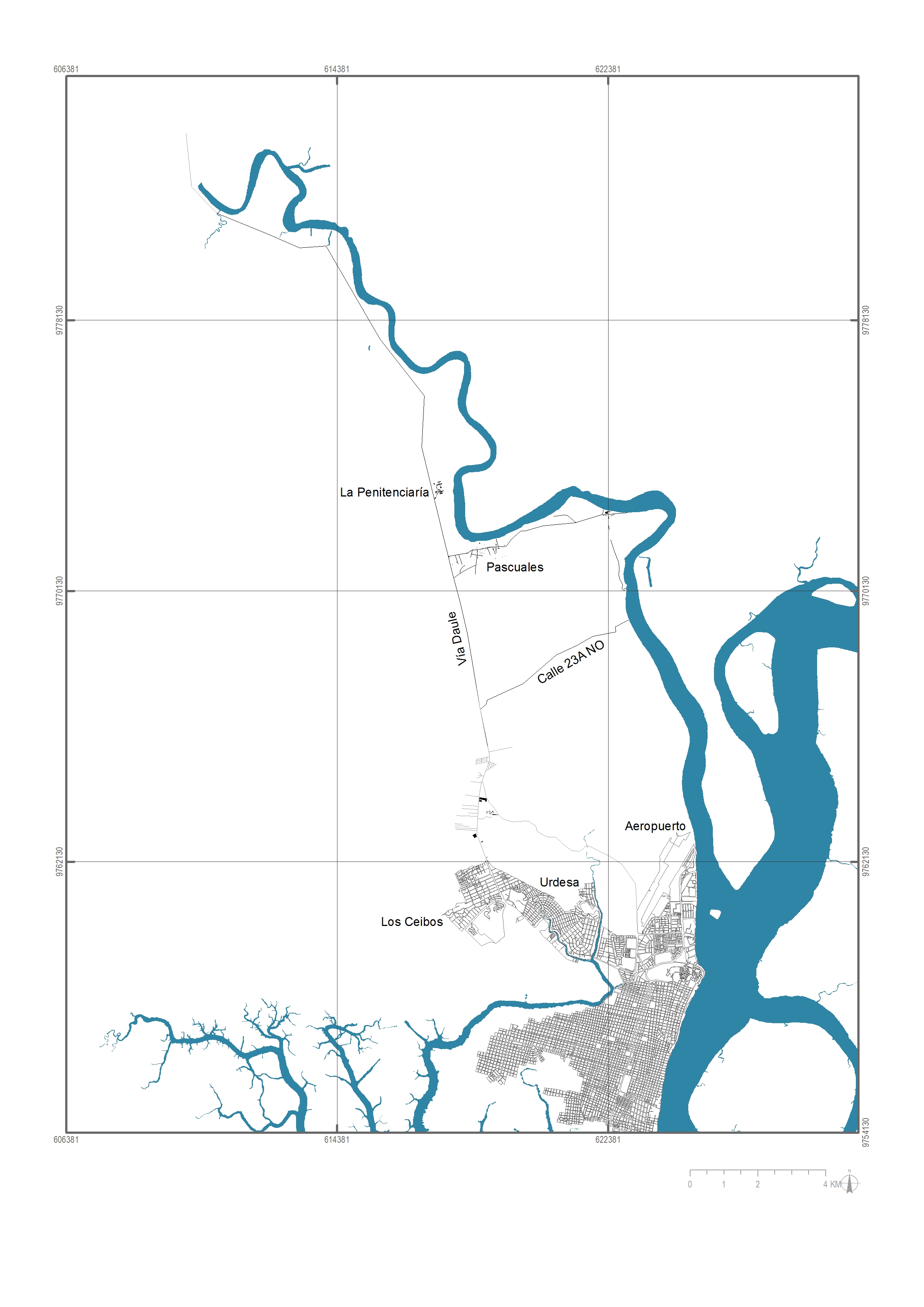
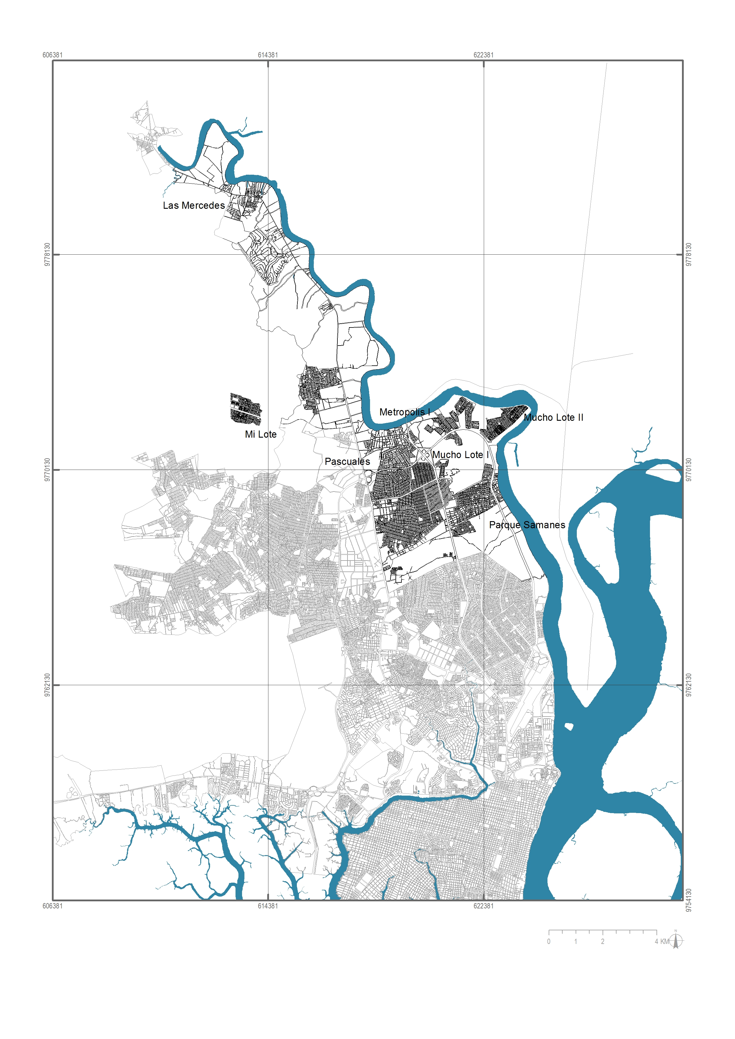
Georreferenced maps showing the the urban growth from 1961-2019
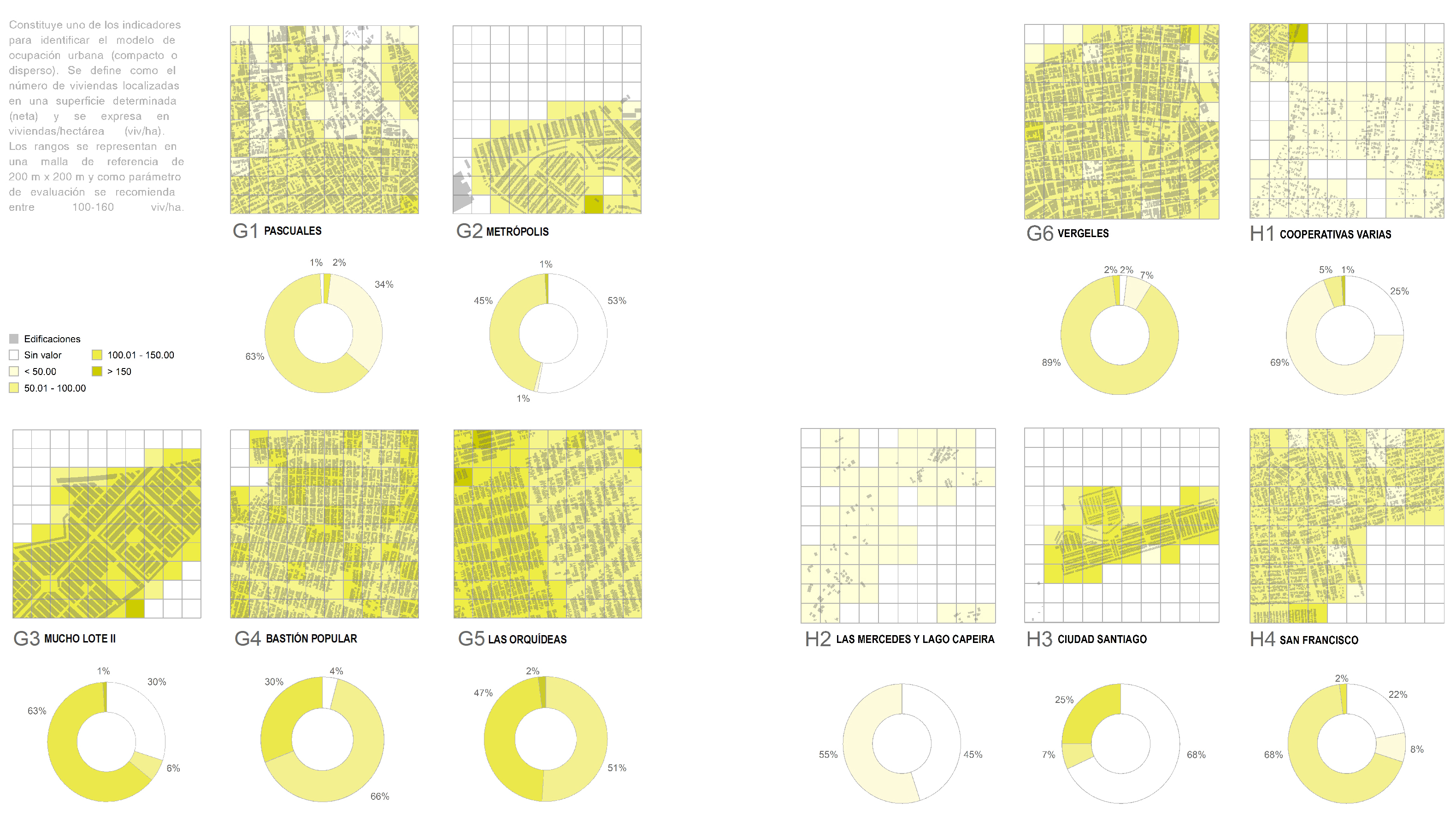
Density Index. Calculation of urban tissues
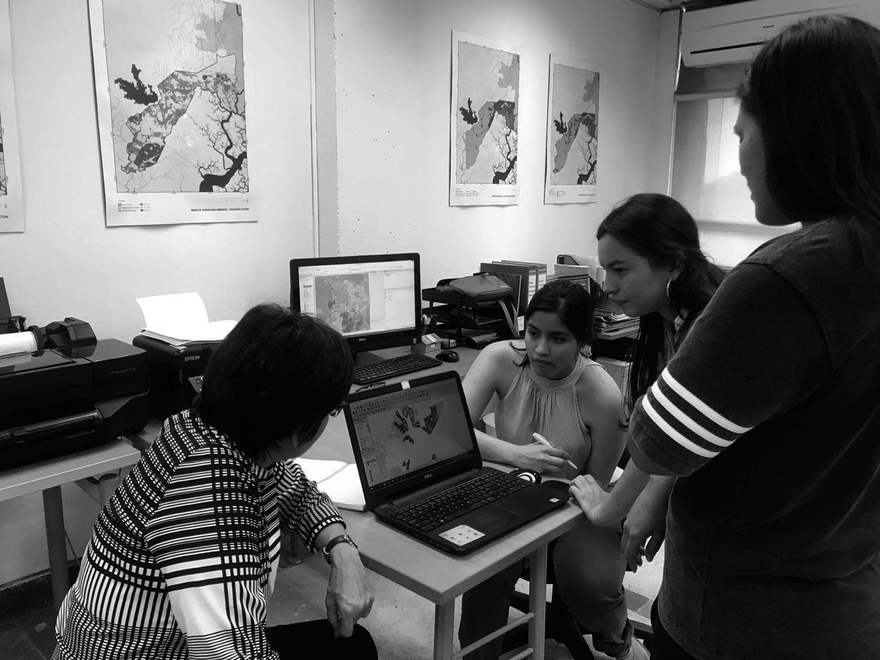
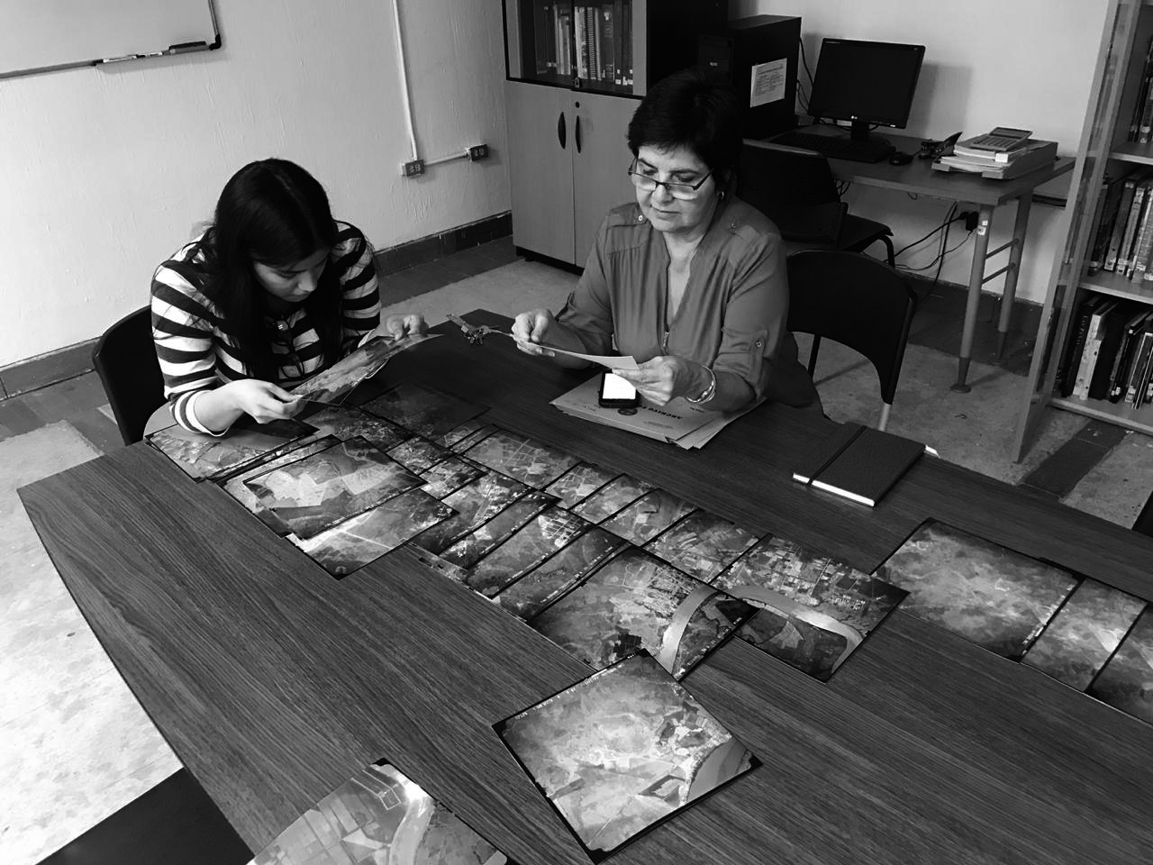

The research team
check more projects:
check more projects: